
How do carrier pigeons find their way home?
How do carrier pigeons find their way home? This seemingly magical ability has fascinated people in cities and the countryside for centuries. However, there is no miracle behind their ability to find their way home, but rather a combination of their sense of smell, the earth's magnetic field, the position of the sun, landmarks and experience. Modern studies show that several navigation systems work in parallel and are weighted differently depending on the weather, landscape and distance. Anyone who observes pigeons in the garden or over their own location will clearly experience how precise orientation and endurance work together.
In everyday life, this means that homing pigeons combine a rough "map" of their surroundings (e.g. via odors and infrasound) with a biological compass (sun, magnetic field). This results in multi-stage navigation - from finding the rough home direction to precise control of the loft. Wind, clouds, relief, city edges and level of training all influence how safely and quickly the return is achieved. Typical cruising speeds are around 60-80 km/h; tailwinds can allow significantly higher speeds for short periods.
TL;DR - The most important facts in brief
- Carrier pigeons use several systems in parallel: scent map, magnetic compass, position of the sun, landmarks and experience.
- How do homing pigeons find their way home? Through a combination of coarse direction finding (magnetic field/sun) and fine target navigation (scents/landmarks).
- Weather, landscape, training and state of health influence orientation and speed (typically around 60-80 km/h).
- Ethics count: moderate training, sufficient regeneration, care and protection from heat/birds of prey.
- Birdwatching in the garden benefits from smart cameras - pigeons are reliably detected without disturbing them.
How do homing pigeons find their way home? The orientation systems at a glance
The homing pigeons' navigation system has a redundant structure. If one sense is impaired - due to heavy cloud cover, for example - other mechanisms step in. Four components are considered to be particularly relevant: an olfactory "smell map", magnetic and solar compass information, visual orientation on prominent structures and knowledge gained through training.
Odor map (olfactory map)
Pigeons memorize typical air mixtures at their home location, which are characterized by vegetation, industry, water and soil conditions. The scent profile changes with increasing distance. The relative change provides an indication of direction and distance from home. This effect is particularly useful for moderate distances and changing winds, with odors serving as a "rough compass".
Magnetic compass (Earth's magnetic field)
The Earth's magnetic field provides stable, global directional information. Carrier pigeons seem to perceive magnetic gradients and use them to determine their direction. The magnetic compass is particularly useful for "rough navigation" over long distances and in cloudy conditions, when the solar compass is less reliable.
Solar compass and polarized light
The position of the sun provides a reliable compass direction, provided the internal clock is correctly calibrated. Over the course of the day, the shift in the position of the sun must be "taken into account". Polarized sky light - especially in the morning and evening hours - can also provide additional orientation and partially compensate for gaps in the clouds.
Landmarks, line structures and cognitive maps
Landmarks - rivers, railroad lines, forest edges, coastlines - play a central role when approaching home. Pigeons recognize these linear structures and use them as "guard rails". Over time, they develop a cognitive map that enables them to take shortcuts. Distinctive silhouettes help in urban areas, while bodies of water and forest edges dominate in the countryside.
Note: "How do homing pigeons find their way home?" can best be explained as an interplay of several senses. The more complex the terrain and the more variable the weather, the more pigeons benefit from this redundant multiple strategy.
What role do imprinting, training and experience play?

Even young birds memorize the immediate surroundings of the loft during the "home flight". This is followed later by progressive training flights with increasing distance and different directions of departure. Experience sharpens the use of landmarks, improves time management and energy saving in the wind field and increases return safety. Well-trained pigeons often choose routes that balance safety and speed - for example, river valleys instead of a straight line in a headwind.
Hometown imprinting and internal clock
Imprinting on smells, cardinal points and local landmarks forms the starting point for all further learning steps. The internal clock is synchronized by daylight and calibrates the solar compass. Even small shifts - due to changes in the weather, for example - can change the "mental map" in the short term, which is why regular training flights on different days make sense.
Route learning and decision-making logic
Pigeons memorize favorable corridors and avoid zones with the presence of birds of prey, strong thermals or complex obstacles. In a group, they benefit from social learning: Individuals with a high level of experience provide orientation. At the same time, the system remains flexible - in the event of disturbances, it is rescheduled until reliable signals (scent, landmarks) provide reassurance.
Practical relevance: In Germany, the landscape and wind regime vary greatly between the coast, low mountain ranges and Alpine foothills. Training plans that reflect this diversity measurably improve orientation performance (orientation rate and flight times as reference values).
Weather, time of day, landscape: what influences the return home?
Weather and topography affect visibility, wind shear and thermals. In clear conditions, the sun compass dominates; in cloudy conditions, odor signals and the magnetic compass become more important. In urban areas, linear structures facilitate fine control, while homogeneous agricultural areas offer fewer points of reference. Noise and magnetic disturbances - such as large metal surfaces - can also cause local irritation.
Challenge: Point-shaped magnetic disturbances (e.g. large accumulations of metal) can briefly provoke wrong decisions. However, redundant signals - landmarks, odors - usually compensate for this.
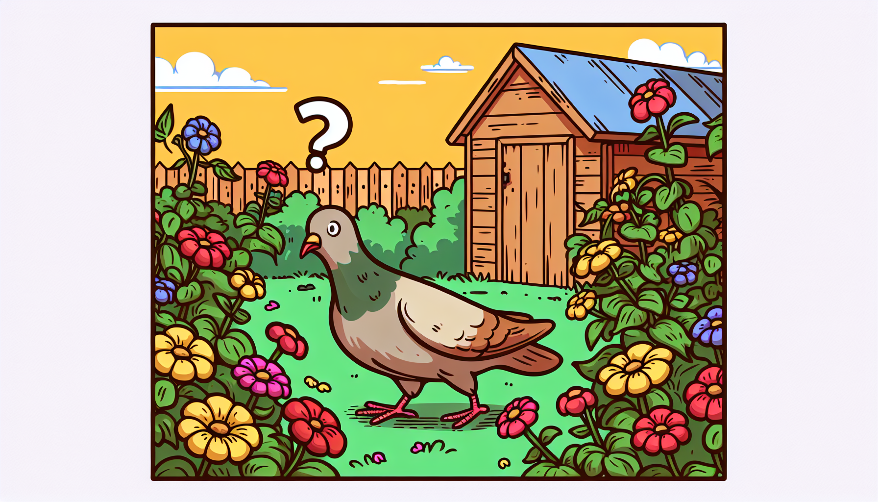
Observe and understand: What can be recognized in the garden?
Typical signs of safe navigation are calm wing beats, constant course corrections and the stringing together of distinctive lines (e.g. along a river). When approaching known areas, the flight altitude is often moderately adjusted to make better use of landmarks. Groups show a dynamic tip rotation: individual birds temporarily take the lead when their information situation is better.
Advantage for observers: A bird feeder with a camera from vogelhaus-mit-kamera.com can document the frequency of pigeons and songbirds at the location. AI bird recognition automatically identifies visitors in the app, allowing flight activity, times and species abundance to be compared based on data without disturbing them.
Myth check: what's true - and what's not?
- "Pigeons always fly as the crow flies." In reality, safe corridors are preferred that take weather, relief and landmarks into account.
- "Only the smell counts." The sense of smell is important, but pigeons combine several systems in parallel.
- "Magnetic field alone is enough." Without fine signals (landmarks, scents), homing close to home would be less accurate.
How do homing pigeons find their way home over long distances?
On long distances, the pigeons first stabilize the rough direction home (magnetic compass/solar compass), then fine navigation takes over. Experience helps to strategically avoid large-scale obstacles - mountains, wide bodies of water. Average daily distances are around 100-300 km, depending on wind and physical condition; exceptional days with tailwinds allow longer distances. Breaks along the way are possible if energy and water levels require it.
Ethics & animal welfare: Increase the training load moderately, avoid heat waves, provide water and electrolytes and take care to avoid bird of prey hotspots. The welfare of the animals always takes priority.
Practical tips for observation - compact and easy to implement
- 1 Observe early in the morning: stable light conditions facilitate course analysis and group behavior.
- 2 Include landmarks: Keep an eye on rivers, railroad lines or forest edges as "guard rails".
- 3 Note the weather: Cloud cover, visibility and wind direction explain course changes and flight altitudes.
- 4 Use camera data: Visit times, length of stay and species recognition allow comparisons over weeks.
- 5 Keep calm: Maintain distance, no abrupt movements - stress distorts behavior.
Year-round insights: A bird nesting box with camera from vogelhaus-mit-kamera.com provides additional insights into the breeding behavior of typical garden species. This provides a more complete picture of the bird community at the site - pigeon visits to the feeding site and breeding activities of other species throughout the year.
Energy balance, orientation and performance: What does biology say?
Performance and navigation are closely linked. A stable energy balance ensures concentration on course corrections and increases the efficiency of sensory use. Carbohydrate-rich food rations before longer flights are considered a sensible orientation value; electrolytes support the fluid balance. Headwinds increase costs per kilometer, which is why experienced animals often choose slipstream-rich routes. Observations show that constant, medium flight altitudes offer a good balance between thermal utilization and landmark visibility.
Safety aspects in view
- Recognize raptor zones and - where possible - avoid them.
- Take periods of heat into account; adjust take-off windows.
- Minimize magnetic and noise sources near take-off.
Conclusion: How do racing pigeons find their way home - and what can we learn from this?
The answer to the question "How do homing pigeons find their way home?" lies in an intelligent multi-sensor system. Scent map, magnetic and solar compass and landmarks interlock like gears. Experience and good training turn these components into stable, flexible navigation - in the city as well as in rural areas.
Recommendations for action: Systematically document observations (time, weather, course), use camera technology for trouble-free data acquisition and adapt training and observation windows to wind and cloud cover. Figures on distances, speeds and return rates should always be understood as guidelines, as terrain and weather have a significant influence on performance.